There is a particular kind of summer afternoon that starts with a picnic on dry sand and ends with everyone carrying their shoes above their heads. Tide tables exist to prevent it. They look like a spreadsheet that escaped from an accountant's office, but underneath the columns is a simple story about when the sea arrives and when it leaves.
What a Tide Table Actually Tells You
A tide table is a set of predictions for one specific place, usually called a reference or standard port. Most are based on Admiralty data, and local councils, harbour authorities and chandlers publish shortened versions for their own stretch of coast. You will find them on harbour noticeboards, in tourist information offices, in fishing shops and on harbour websites.
Two things matter in that grid: times and heights. The times tell you when the water reaches its highest and lowest points. The heights tell you how high that is, measured in metres above an agreed baseline called chart datum. Everything else in the table is context for those two numbers.
Times, Heights and What the Numbers Mean
Most UK tables print four lines of data a day: two high waters and two low waters, each with a time and a height. Times are usually given on the 24-hour clock — 14:20 rather than 2.20pm — and in local time, so you need to know whether the table has been adjusted for British Summer Time. A harbour that publishes on GMT all year will put your July visit an hour out.
The heights are not depths. A low water of 0.4 m does not mean there is 40 cm of water at the shoreline; it means the sea surface is 40 cm above chart datum, the low-water baseline the chart is drawn against. What you actually want from the heights is the range: the gap between the high and the low. A day running from 0.6 m to 4.8 m has a range of 4.2 m, which is a big tide — plenty of beach at low water, and a lot of water to come back in.
A worked example
Saturday at your nearest reference port reads: HW 06:12, 4.7 m; LW 12:34, 0.6 m; HW 18:40, 4.9 m.
The first high water has already passed by breakfast, so the morning is a falling tide and the beach is widening. The second high water arrives just before seven in the evening, which means a late afternoon barbecue is being set up on a rising tide. Decide early where the water will be by six. Tide times also drift later by roughly 50 minutes a day, so the same window will not work tomorrow.
Springs, Neaps and the Pattern Behind the Numbers
Ranges do not repeat neatly week to week. Around the new moon and the full moon, the sun and moon pull roughly in line and the range is at its largest — spring tides, nothing to do with the season. Around the quarter moons, those pulls work against each other and the range shrinks: neap tides. On a typical open coast that can mean several tens of centimetres of difference in height, and noticeably different timing.
This is what decides which day you pick. A spring low opens up rock pools, sandbars and wide expanses of wet sand. A spring high can leave you with nowhere to sit at the top of a narrow beach. If your trip is flexible, check the range before you check the weather.
Choosing Your Window for a Beach Day
Start with the closest reference port, then work outwards from there.
- Check whether the table lists an offset for your beach. A bay five miles up the coast might run fifteen minutes behind the port; an estuary can be an hour or more.
- Note every high and low water for the day, not just the one that suits your plans.
- Match the tide to the activity. For paddling and sandcastles, a falling mid-tide is comfortable: plenty of sand, gentle water. For rock pooling, plan around low water, arriving an hour before and leaving an hour after. For a long walk along the strand, go out on a falling tide and turn back with time in hand.
- Think about how far the water moves. On a flat sandy beach, a metre of tide can shift the waterline tens of metres; on steep shingle, the same metre is a few paces.
- Build in a margin. Aim to be off the low-lying part of the beach well before high water, and add extra time if you have small children or a slow walker in the group.
One useful rough guide is the rule of twelfths. Between low and high water the rise is not even: the first hour brings about one twelfth of the range, the second two twelfths, the third and fourth three twelfths each, then two, then one. It is an approximation, but it explains why the water seems to race in during the middle of a tide.
Things That Catch People Out
- The tide does not reverse instantly at the stated time. It slackens, pauses, then flows the other way.
- Estuaries, river mouths and channels between sandbanks fill faster and cut off routes sooner than the open beach.
- Wind and air pressure alter the real water level. Strong onshore winds and low pressure can push water higher than predicted; offshore winds and high pressure can hold it lower, which can make the returning tide seem faster and more surprising.
- A table for a port twenty miles away may be an hour out for your cove.
- Headlands and coves with a single exit are the classic places to get caught. Walk your return route at low water so you know it exists.
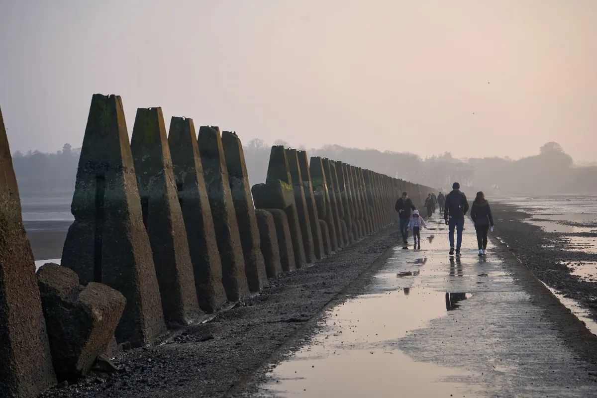
For anything more ambitious than a beach day — crossing a tidal causeway, sea kayaking, or fishing a mark that dries out — use official charts, almanacs and harbour authority information, and ask locally before you commit.
A Quick Checklist Before You Go
- Check the table the night before and again in the morning, and confirm whether it is GMT or BST.
- Write down the high water time, height and range for your beach.
- Prefer a falling tide for your arrival, so the water is retreating, not chasing you up the sand.
- Note two landmarks — one for where you sat, one for the path back.
- Tell someone where you are going and when you expect to be back.
- Set an alarm for the turn of the tide, particularly on a flat beach where the water moves quickly.
- If lifeguards are on patrol, ask about local currents, and follow flags and signage.
Reading a tide table takes about five minutes once you know which numbers matter, and it turns a guessing game into a plan. Pick your window, watch the water rather than the clock, and leave with dry shoes.
Photo: dendoktoor / Pixabay